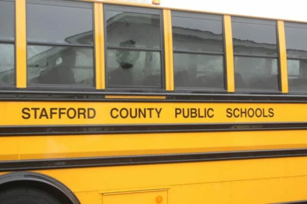
The school division announced it will revert to a three-bell lunch schedule starting Tuesday, Feb. 20, 2024. Potomac Local was the first to tell you administrators were scrutinizing the extended “power hour” lunch period following the arrest of at least 10 students involved in an early-morning fight at Brooke Point High School on January 29, 2024.
Later that day, police placed the school on lockdown after students assaulted two Brooke Point teachers in a separate incident.