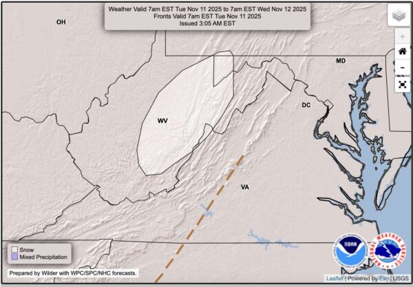
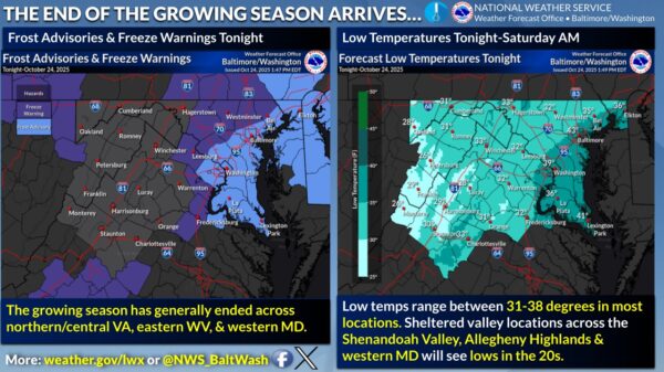
Residents across Fredericksburg, Manassas, and Woodbridge should brace for what could be the most significant winter storm in years, with snow accumulations of 4 to 12 inches forecasted. The storm is set to begin Sunday afternoon, bringing snow, sleet, and freezing rain through Monday and potentially into early Tuesday.

Governor Glenn Youngkin has declared a state of emergency for Virginia, mobilizing state resources to prepare for hazardous conditions. The National Weather Service reports that the storm’s impact will depend on its track, with a northern trajectory bringing more ice and a southern track resulting in heavier snow across the area.


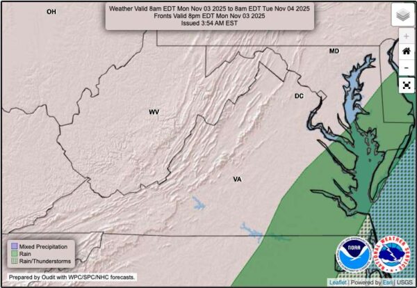
According to the U.S. Drought Monitor, residents in Northern Virginia and surrounding areas saw their first raindrops in almost 40 days this Sunday. The raindrops offered much-needed relief from a prolonged dry spell that has placed the region under moderate to severe drought conditions.

The National Weather Service has classified parts of Prince William County, Stafford County, Fredericksburg, Manassas, Manassas Park, and Spotsylvania County as experiencing a D1 Moderate Drought. Meanwhile, Fairfax County, King George County, and the Northern Neck Peninsula are experiencing a D2 severe drought.


Crews from the Northern Virginia Electrical Cooperative (NOVEC), along with contractors and support from other electric cooperatives, continue to restore power after a severe storm that hit Northern Virginia on Thursday, August 29, 2024. The storm caused significant damage, particularly in Stafford County and southern Fauquier County, leading to widespread outages and extensive repairs.

As of 7 a.m. on Saturday, August 31, NOVEC reports that the number of customers affected by the storm has decreased from 6,000 to approximately 430. In Stafford County, crews are focused on replacing broken electric poles and repairing downed power lines. Replacing a single broken pole can take several hours, especially when trees are down, and the ground is saturated from heavy rain.


Chris Strong from the National Weather Service Baltimore-Washington office noted the unusual nature of the storm, highlighting that “one of the biggest things that was more uncommon about that event was just how little wind there was in the general atmosphere for these storms to move around.” This lack of atmospheric movement allowed the storms to “evolve and develop in place,” leading to prolonged periods of heavy rain and persistent lightning across several areas.

Despite the severity, the region did not experience any tornadic activity. Strong explained that tornadoes generally require wind shear—an increase in wind speed and a change in direction at different altitudes—which was absent during this event. This contributed to the storm’s stationary behavior, causing extended weather disturbances over the same locations.


Press release:

The Metropolitan Washington Council of Governments (COG) has forecast a Code Orange air day for tomorrow, August 27 in part of the metropolitan Washington region, including DC and Northern Virginia as well as Suburban DC in Maryland (Prince George’s County and Lower Montgomery County). Code Orange levels mean the air is unhealthy for sensitive groups.


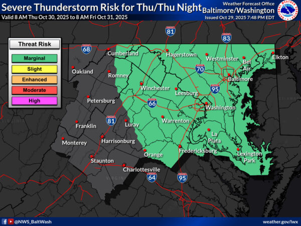
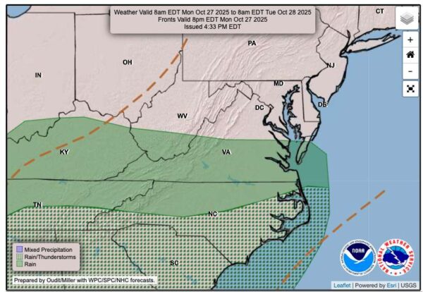
The National Weather Service has issued a severe thunderstorm warning for Stafford County, including Aquia Harbour and King George, effective until 3:15 p.m. today. This warning comes as a series of storm clusters, currently over Johnstown, PA, and extending across Lake Erie, are expected to intensify as they approach the region.

As of 9:45 a.m., satellite and radar imagery showed several clusters of showers accompanied by occasional lightning moving southeastward.


View More Stories