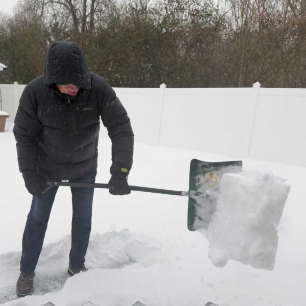
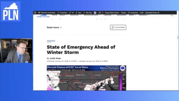
Thousands lost power Wednesday night as severe thunderstorms rolled through Northern Virginia. As of 5:30 a.m. Thursday, about 850 NOVEC customers remained without electricity, down from a peak of 7,000. Reported outages include 79 in Prince William County, 63 in Stafford, 561 in Fauquier, and 136 in Loudoun. Dominion Energy reported 24 outages in Prince William and more than 500 in Fauquier.

At the same time, the National Weather Service issued a Flood Warning that remains in effect until 8:30 a.m. after heavy rainfall—up to 4.5 inches in some areas—caused creeks and streams to overflow. Roads in parts of Manassas, Manassas Park, Haymarket, Nokesville, and Gainesville were flooded, and emergency officials warn that some crossings remain impassable.


A strong cold front moving into the region on Tuesday is expected to bring widespread showers and thunderstorms, with the potential for flooding and damaging winds during the afternoon and evening hours.

According to the National Weather Service, conditions will become increasingly unstable throughout the day, leading to likely thunderstorm activity after 4 p.m. Forecasters say the setup could produce repeated rounds of storms, raising the risk of flash flooding in low-lying and urban areas. A Flood Watch may be issued ahead of the storm’s arrival.


Warm, humid weather will give way to scattered thunderstorms this afternoon as a weak cold front drifts through the region, according to the National Weather Service.

Forecasters say the day will start mostly sunny with highs reaching the upper 80s to low 90s, but the combination of heat and moisture will create unstable conditions leading to thunderstorm development. Areas west of the Blue Ridge and into the Shenandoah Valley could see storms as early as noon, while the D.C. and Baltimore metro areas can expect storm chances between 2 and 8 p.m.


A ridge of high pressure remains in place, keeping the region hot and humid today. Scattered thunderstorms are likely to develop this afternoon and evening, bringing the risk of heavy rain, damaging wind gusts, and frequent lightning. With high moisture levels and slow-moving storms, localized flash flooding—especially east of the Blue Ridge and along the I-95 corridor—is a real concern. A Heat Advisory remains in effect until 7 p.m., with heat index values reaching 102 to 107 degrees.

Here’s what to expect over the next few days:


A strong cold front moving through the region today is expected to bring a line of powerful thunderstorms, prompting a Level 3 (Enhanced Risk) for severe weather across much of Northern Virginia, including the I-95 corridor, according to the National Weather Service in Sterling.

As of 11 a.m., temperatures were already soaring into the mid to upper 80s, with oppressive humidity making it feel even hotter. At Washington National Airport, it was 84°F with a heat index of 91°F. In Fredericksburg, it was 86°F and sunny, with wind gusts reaching 18 mph. Baltimore’s Inner Harbor was already reporting a temperature of 91°F and a heat index near 99°F.


A Tornado Watch is in effect for our area until midnight Friday, with the greatest risk for severe weather between 7 and 10 p.m. along the I-95 corridor. The National Weather Service says a band of intense thunderstorms is expected to move eastward into our region this evening, bringing the possibility of isolated tornadoes, heavy downpours, and gusty winds up to 65 mph. A Flood Watch is also in effect, and while the heaviest rain may fall north of our region, saturated ground means it won’t take much to cause localized flash flooding.

Later tonight, a second round of rain is possible, especially in northern Maryland, as the storm system’s surface low strengthens. Behind the front, blustery winds may continue overnight. Another round of showers and possibly thunderstorms is expected Saturday, though with lower coverage and intensity.


WOODBRIDGE, Va. – The National Weather Service has issued a Severe Thunderstorm Watch for much of Northern Virginia, in effect until 10 p.m. Friday, May 16, 2025.

Areas included in the watch are Prince William, Stafford, Fairfax, Fauquier, Culpeper, Loudoun, Frederick, and surrounding counties, along with the cities of Manassas, Manassas Park, Alexandria, Falls Church, Fairfax, and Winchester, according to the National Weather Service.


FREDERICKSBURG, Va. – Flooding concerns remain high along the Rappahannock River after a day of heavy rain and rescue operations.

At 2:54 p.m. today, the Stafford County Sheriff’s Office reported multiple people were rescued after their car became stranded in flood waters on River Road near Fredericksburg. Meanwhile, the Fredericksburg City Fire Department announced the closure of City Dock, warning that the river is expected to crest at 13 feet around 2 a.m. Wednesday, May 15. A Flood Warning is in effect for the dock area from 2 a.m. to 8 a.m.


A warm and sunny start to Saturday will give way to a stormy and unsettled pattern across our region this weekend. Scattered thunderstorms are expected to develop this afternoon, some of which could be strong to severe, bringing damaging winds and large hail. Rain and thunderstorm chances increase overnight and continue through Sunday and into Monday, with the potential for localized flooding and isolated severe storms. While not everyone will see dangerous weather, it’s important to stay alert as conditions evolve.

Weekend Outlook


The workweek will begin on a cool and breezy note today, but it won’t last long. High pressure moving in from Canada will bring sunny skies and calmer conditions for Monday, followed by a sharp warm-up on Tuesday. A few showers and thunderstorms could develop late Tuesday as a warm front pushes through the region.

Here’s what to expect over the next few days:


View More Stories