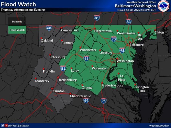
A wintry mix of precipitation is expected, with snow and sleet accumulations up to 1 inch and ice accumulations up to one-tenth of an inch. The advisory covers the District of Columbia, central Maryland, and central and northern Virginia.

Precipitation will overspread the area Saturday morning, starting as snow. By the afternoon, it will transition to sleet and freezing rain, creating hazardous travel conditions. By the evening, temperatures will rise, changing the precipitation to cold rain, which may help reduce ice accumulation but could leave roads slick.


A winter storm is expected to impact the region starting Wednesday evening, bringing the potential for significant ice accumulation in some areas. The National Weather Service has issued an Ice Storm Warning for parts of the Potomac Highlands, Northern Shenandoah Valley, and Northern Virginia Blue Ridge.

Prince William County is under a Winter Weather Advisory from 9 p.m. Wednesday to Noon Thursday. Stafford County is currently not under any advisory.


Phil was welcomed with chants of “Phil, Phil, Phil,” and pulled from a hatch on his tree stump shortly after sunrise before a member of the Punxsutawney Groundhog Club read from a scroll in which he boasted: “Only I know — you can’t trust A.I.”


Arctic high pressure continues to grip the region, keeping dangerously cold temperatures and bitter wind chills in place through Thursday morning. The National Weather Service warns that these frigid conditions will persist, with temperatures struggling to climb above freezing during the day and plummeting overnight.

Wednesday and Beyond


If you’re planning to attend outdoor festivities or events this Inauguration Day, bundle up! The National Weather Service has issued a frigid forecast for the day, with Arctic air making its presence known across the region.

The day will start mostly sunny but bitterly cold, with high temperatures struggling to reach 27 degrees. Adding to the chill, northwest winds of 13 to 18 mph will bring gusts up to 30 mph, creating wind chills in the single digits to teens east of the mountains and well below zero in higher elevations.


The National Weather Service warns of wintry weather this weekend, with light snow or a wintry mix possible late Friday into Saturday morning. Precipitation should turn to rain by midday Saturday, but models show varying chances for light snowfall on Sunday, particularly in western areas.

A powerful Arctic air mass will arrive Sunday night, bringing the coldest temperatures in five years. Highs on Monday, Inauguration Day, will struggle to reach the teens and low 20s, with wind chills dropping to -15°F in the mountains and near 0°F elsewhere. Bitter cold will persist through Wednesday, with overnight lows below zero in some areas, according to the National Weather Service.


View More Stories