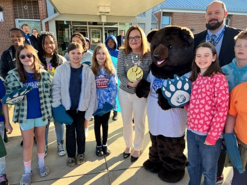
Stafford County Public Schools press release: Dr. Lisa Coons, Virginia Superintendent of Public Instruction, visited with students and staff at Grafton Village Elementary School (GVES) this morning.
During her visit, she engaged in discussions surrounding the importance of student mental health and addressing meaningful methods to battle chronic absenteeism, visited classrooms, and read Shelly Becker’s Even Superheroes Have a Bad Day to a second grade classroom.