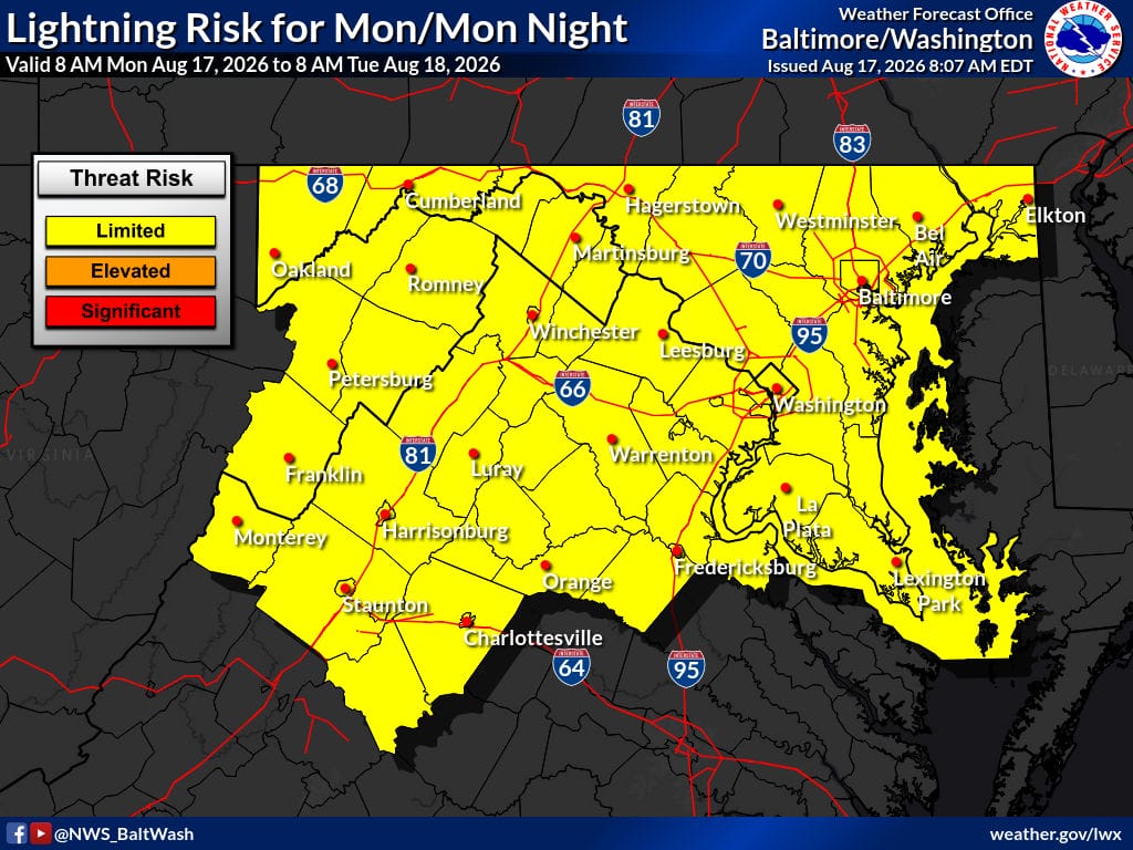
Hot and humid conditions continue today with a high near 91 and heat index values as high as 101. A few showers and thunderstorms remain possible this evening as a cold front crosses the region. Skies turn sunnier, and temperatures ease a bit Tuesday and Wednesday before storm chances return later in the week.
Today
Mostly sunny with a high near 91. Heat index values as high as 101. Northwest wind 5 to 8 mph.
Tonight
A chance of showers and thunderstorms before 1 a.m., then a slight chance of showers between 1 and 3 a.m. Mostly cloudy with a low around 71. Calm wind. Chance of precipitation is 40%.
Tuesday
Sunny with a high near 88. North wind 5 to 7 mph.
Tuesday Night
Mostly clear with a low around 67. Calm wind.
Wednesday
Sunny with a high near 90. Calm wind becoming west around 5 mph in the afternoon.
Outlook
A few showers and thunderstorms are possible until the cold front crosses later today. Coverage should stay low, though a few gusty storms with downpours and lightning remain possible. The strongest activity, if any, would most likely be along the I-64 corridor in central Virginia. Overall severe threat is low. Thunderstorm chances return Wednesday night into Thursday and continue into next weekend, with the best chance on Thursday. A slight cool-down is possible Friday through Sunday with highs in the 70s and 80s.
Stay weather-aware and check official National Weather Service updates for the latest information.