
Winter doesn’t want to give up.
After temperatures climbed in the high 80s this past week, the mercury will drop by Monday, with rain bearing down on the region and some possible snow out west.
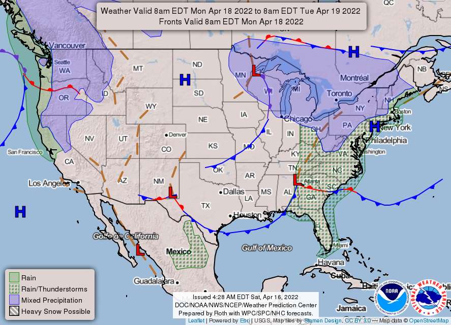
Here’s the forecast from the National Weather Service:
Tonight
Scattered showers before 2 am. Mostly cloudy, with a low around 43. Southwest wind 8 to 10 mph, becoming north after midnight. Winds could gust as high as 18 mph. Chance of precipitation is 40%.
Areas north of I-66 & US Route 50 have a better chance of such showers being closer to the jet energy… showers could bring gusty winds to around 30 to 40 mph to the surface. Further, these more developed showers may lead to a rumble of thunder during the afternoon to early evening.
Sunday
Sunny, with a high near 58. Northwest wind around 11 mph, with gusts as high as 22 mph.
Tranquil weather is anticipated for Sunday in the wake of the frontal passage. A steady influx of cooler air will keep conditions seasonably chilly for the time of year… highs in the low to mid-50s…Northwesterly winds may gust up to 20 mph, making it feel slightly cooler than what the thermometer will read.
Sunday Night
Partly cloudy, with a low around 38. Northeast wind 3 to 7 mph.
As this air mass will be rather dry, temperatures should fall off quickly into the night as high pressure approaches from the northwest. Wind fields gradually shift north to northeasterly while becoming lighter. With temperatures falling off into the 30s, areas north and west of the DC and Baltimore metros will likely see areas of frost with some freeze potential. Freeze Watches have been hoisted in these areas… [increaing] cloud cover across the Potomac Highlands into the central Shenandoah Valley…
Monday
Rain, mainly after 11 am. High near 49. Southeast wind 5 to 13 mph, with gusts as high as 22 mph. Chance of precipitation is 90%.
Despite being late in the season, a rain/snow mix is likely given the cold surface temperatures. The best chance for any snow accumulations would be over the higher elevations.
Monday Night
Rain, mainly before 2 am. Low around 38. Chance of precipitation is 80%.
Models are starting to come into better agreement with the evolution of this system. A cold air damming signature sets up while a surface wave begins to lift from the Outer Banks toward the Delmarva Peninsula by Monday evening.
While a few solutions depict wintry precipitation extending closer to the I-95 corridor, not [we’re] buying it given the difficulty of accumulating snow this far into April. A broad shield of light to moderate precipitation overspreads the entire region on Monday with totals around a half an inch.
For mountain locales, an inch or two of snow is possible with a dusting into the adjacent lower elevations. Precipitation types get a bit messy, so some ice pellets or freezing rain are not out of the question.
Monday’s highs are quite chilly, with widespread 40s to low 50s. Meanwhile, the mountains do not escape the 30s. The cold front associated with this system exits late Monday with another chance for freeze/frost conditions where the growing season has commenced. Along and east of I-95 should stay a bit milder, though.
Tuesday
Sunny, with a high near 57.