
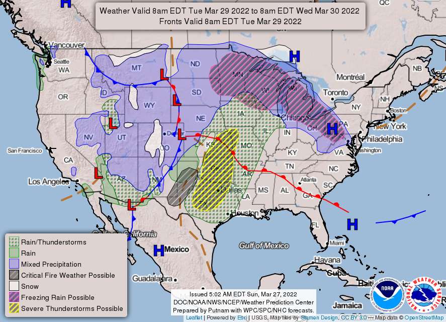
March is going out like a lion, with the possibility of a wintery mix of precipitation on Tuesday and strong thunderstorms on Thursday.
From the National Weather Service:
Monday
Mostly sunny, with a high near 45. Northwest wind 7 to 17 mph, with gusts as high as 28 mph.
Monday Night
Mostly cloudy, then gradually becoming clear, with a low around 24. Northwest wind 6 to 10 mph, with gusts as high as 22 mph.
Near-record cold possible Monday night, especially for outlying areas where the coldest conditions would be most prevalent. Otherwise, continued dry weather is expected.
Tuesday
Sunny, with a high near 51. West wind 7 to 9 mph.
Temperatures should moderate some Tuesday as high pressure begins to push offshore, though it will likely still be cooler than normal. Clouds are expected to increase later in the day, with overrunning across an approaching warm front causing in uptick in precipitation chances by late Tuesday night. With residual cold air at or near the surface, a wintry mix is possible, especially west of I-95 and across northern Maryland.
Tuesday Night
A slight chance of rain after 2am. Mostly cloudy, with a low around 34. Southeast wind around 5 mph becoming calm in the evening. Chance of precipitation is 20%.
Wednesday
Mostly cloudy, with a high near 62.
Guidance continues to suggest overrunning precipitation late Tuesday night into Wednesday morning. Warm layer just off the surface would point to a freezing rain event for this period. Main areas of interest would be northwest the DC metropolitan area for freezing rain potential…this will be something to monitor as medium-short range guidance begins to move into the timeframe.
Wednesday Night
Mostly cloudy, with a low around 49.
Behind the precip late Wednesday afternoon will be a warming trend. A warm front associated with a strong low pressure system will lift northward during the day on Wednesday. Winds will shift more out of the SSW as the front approaches.
Thursday
Rain. High near 76. Chance of precipitation is 80%.
By early Thursday morning, a potent cold front associated with the low pressure system will be tracking into the Mid-Atlantic region. Latest guidance continues to hint at the potential for some strong to severe thunderstorms for the afternoon and evening hours on Thursday…chance for some strong to severe thunderstorms to form across portions of the area. The main threat would be for damaging winds from fairly fast moving, low-topped thunderstorms.
Thursday Night
Rain likely. Mostly cloudy, with a low around 53. Chance of precipitation is 60%.
The front should begin to push through late Thursday night and into the early, early hours on Friday. After temperatures warm up into the low to mid-70s for portions of the area,
Friday
Mostly sunny, with a high near 70.