

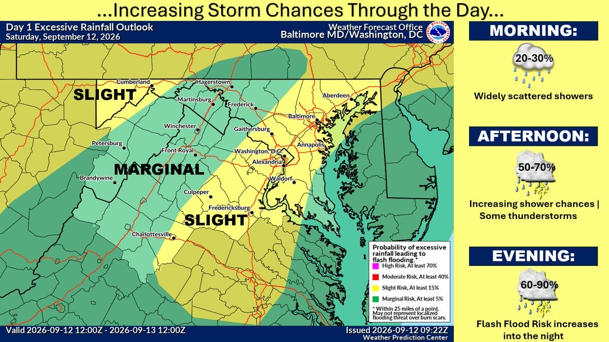
Showers and thunderstorms were expected Saturday night across Northern Virginia, including Stafford and Prince William. Some spots could have seen heavy rain. The National Weather Service said leftover rain should slide toward northeastern Maryland by early Sunday. Fog may form where it rained hard.
Sunday looks warmer, with highs in the 80s and fewer storms. A cold front moves through late Sunday night into Monday. Monday will feel less sticky, with highs in the mid-70s to low-80s and a breezy northwest wind.
Weather headlines
- Storms and heavy rain Saturday night
- Possible flooding where storms lingered
- Patchy fog Sunday morning
- Warmer Sunday, then cooler and drier Monday
- Breezy Monday
Weather aware / precautions
- Watch for standing water on roads Sunday morning, especially I-95 and low spots
- Give extra time if fog cuts visibility
- Sunday outdoor plans look better than Saturday night
- Expect a windier, drier Monday commute
