

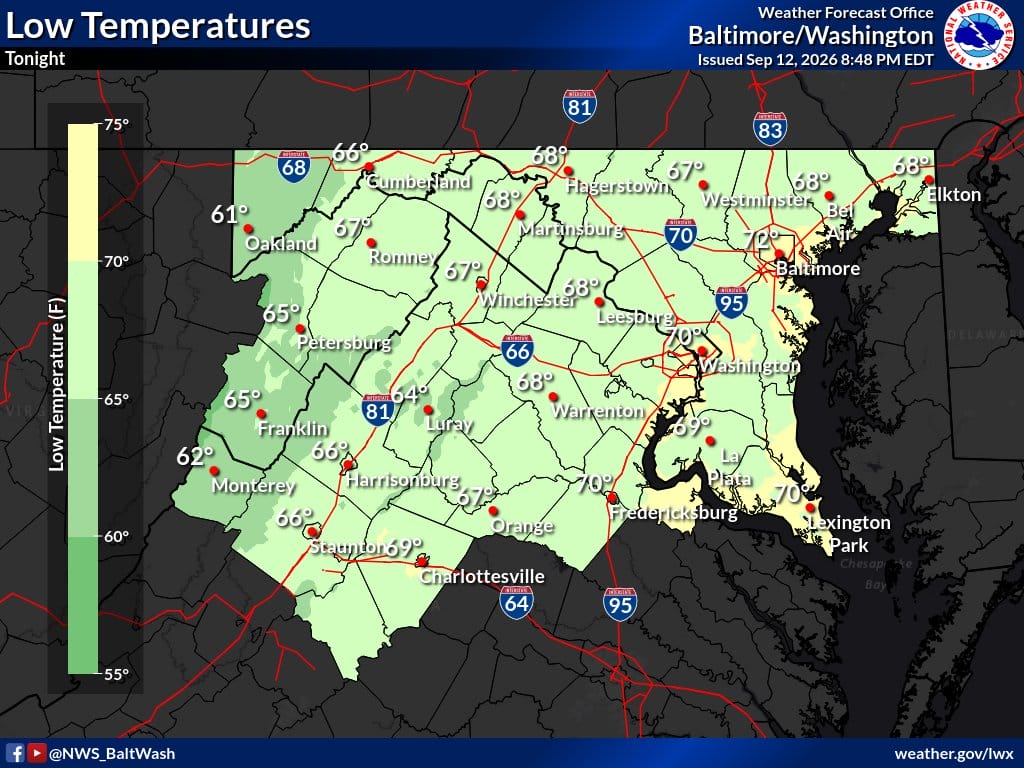
Light to moderate showers are moving through Northern Virginia and the broader Baltimore-Washington area early Sunday. Most places should dry out an hour or two after sunrise. A few extra showers are possible later this morning as a warm front crosses, but they should stay light and scattered.
Afternoon sunshine returns and temperatures climb well into the 80s. Humidity stays up with dew points near 70. A cold front arrives late Sunday night into Monday. Monday will feel cooler and less sticky, with highs in the mid-70s to low 80s and northwest winds gusting 20 to 25 mph at times. Monday night looks chilly, with lows in the upper 40s to 50s.
Weather headlines
- Lingering showers exit most areas by mid-morning
- Warmer Sunday with highs well into the 80s
- Still sticky this afternoon
- Cooler, breezy and drier Monday
- Chilly Monday night lows in the 40s and 50s
Weather aware / precautions
- Watch for wet roads and possible patchy fog early Sunday morning
- Give extra time if visibility is reduced
- Sunday outdoor plans improve after morning showers clear
- Expect a windier, drier Monday commute
