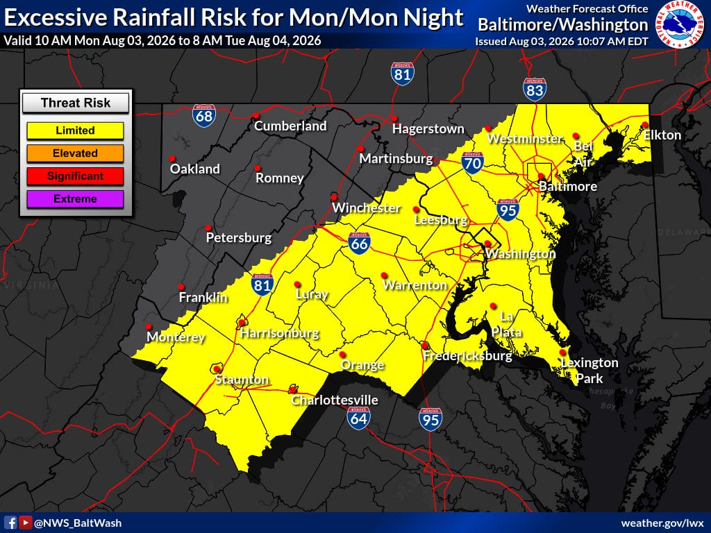
A frontal boundary will bring another round of showers and thunderstorms to the region this afternoon, with locally heavy rain that could produce flash flooding in urban or poor-drainage areas. Conditions stay warm and muggy, with highs in the mid to upper 80s. The front crosses the area this evening, bringing drier air overnight before a more active pattern returns later in the week.
Today
Partly sunny with a chance of showers and thunderstorms, becoming likely after 3 p.m. High near 87. South wind around 6 mph. Chance of precipitation 70%. Rainfall amounts between a tenth and a quarter of an inch, with higher amounts possible in thunderstorms.
Tonight
A chance of showers and thunderstorms before 7 p.m., then mostly cloudy. Low around 68. Light and variable wind. Chance of precipitation 30%.
Tuesday
Partly sunny with a slight chance of showers between 3 and 5 p.m., then a slight chance of showers and thunderstorms after 5 p.m. High near 86. Northeast wind around 6 mph. Chance of precipitation 20%.
Tuesday Night
Mostly cloudy with a slight chance of thunderstorms, then a chance of showers and thunderstorms after 8 p.m. Low around 69. Light east wind. Chance of precipitation 40%.
Outlook
The front clears the area this evening, ushering in drier conditions overnight. It tries to lift north as a warm front Tuesday, keeping most of the region dry with only isolated showers and storms possible south of a Staunton-to-Fredericksburg line. An active pattern returns Wednesday and continues through the weekend, with showers and thunderstorms focused on afternoon and evening hours each day.
Rising humidity increases the chance of flooding with any storms that develop. Severe thunderstorms remain possible Thursday through Sunday, though confidence is still low. Temperatures will climb back toward seasonal normals, with heat indices approaching 100 degrees across the metros late in the week. Some model guidance suggests drier air may move in early next week.