
A quiet stretch of winter weather across Northern Virginia and the Fredericksburg area is expected to give way to a much colder and potentially more disruptive pattern this weekend, as forecasters grow increasingly confident in accumulating snow and dangerous cold.
Sunshine and dry conditions will continue through midweek, but the National Weather Service says a series of cold fronts will usher in Arctic air late this week, setting the stage for what could become a significant winter storm across the Mid-Atlantic.
Calm conditions hold through midweek
Residents across Prince William, Stafford, Manassas, and Fredericksburg can expect calm but cold weather through Wednesday night.
Today will be sunny, with a high near 32 degrees and light west winds. Skies will remain mostly clear tonight, with temperatures falling to around 14 degrees.
Conditions improve slightly Wednesday, with sunshine and a high near 41 degrees. South winds will increase, with gusts up to 25 mph. Wednesday night will be partly cloudy, with lows around 32 degrees.
Despite the cold, the air mass remains very dry, and no precipitation is expected through midweek.
Colder pattern takes hold late week
A stronger change arrives Thursday and Friday as multiple cold fronts move through the region. The National Weather Service says these fronts will reinforce much colder air, pushing temperatures well below average heading into the weekend.
By Saturday night and into early next week, lows could drop into the single digits, with wind chills at or below zero. Near-record low temperatures are possible, especially Sunday.
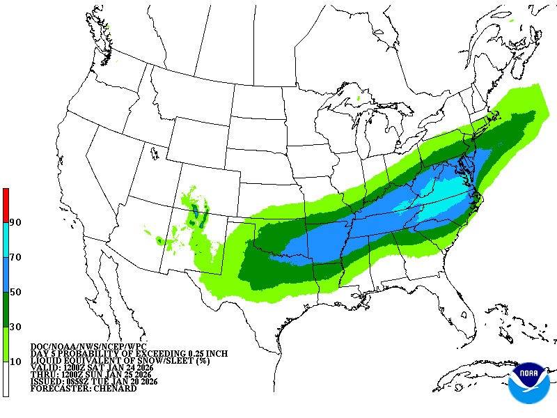
Snow increasingly likely this weekend
Forecasters say confidence is increasing that the region will see accumulating snow this weekend as a storm system develops across the southern United States and interacts with strong Arctic high pressure to the north.
The setup raises concerns for significant winter weather if the storm tracks far enough north. Blocking patterns in the atmosphere may prevent the system from quickly escaping out to sea, allowing snow to spread across much of the Mid-Atlantic.
National Weather Service probabilities currently show a 40 to 70 percent chance of at least six inches of snow across the region, with a 20 to 45 percent chance of a foot or more, depending on the storm’s track.
Timing and uncertainty remain
Snow is most likely to begin Saturday afternoon, with the heaviest precipitation expected Saturday night through Sunday afternoon. Some model scenarios suggest snow could linger into Monday if the storm slows or shifts northward.
Forecasters caution that while accumulating snow appears increasingly likely, exact amounts remain uncertain. A relatively small shift in the storm’s track could result in sharp differences in snowfall totals across the region.
What residents should do now
Emergency officials urge residents to monitor forecasts closely throughout the week. While this is not yet a warning situation, the combination of extreme cold and potential heavy snow could create hazardous travel conditions and strain utilities.
Residents should prepare for very cold temperatures, review winter travel plans, and ensure they have supplies in case conditions worsen.
This article was created with AI assistance and reviewed by Potomac Local News editors for accuracy and clarity.
