
4:30 p.m.
See our growing list of closures.
Update 2:30 p.m.
A look at Prince William Parkway, Dale Boulevard, and Hoadly Road taken this afternoon:
[nggallery id=322 template=dop-thumbnail-gallery]
Update 1:30 p.m.
Travel in the area of Prince William Parkway and Hoadly is treacherous right now. The street pavement is difficult to see and there has been little plowing in the area.
There are abandoned cars along the roadside, as well as debris from earlier crashes. While no police were scene in the area of Prince William Parkway and Hoadly Road, police were spotted directing traffic near Occoquan,
Police directing traffic at Colby and Old Bridge. Road is so treacherous. @InsideNoVA @PotomacLocal
— Yasmin Tadjdeh (@YasminTadjdeh) February 21, 2015

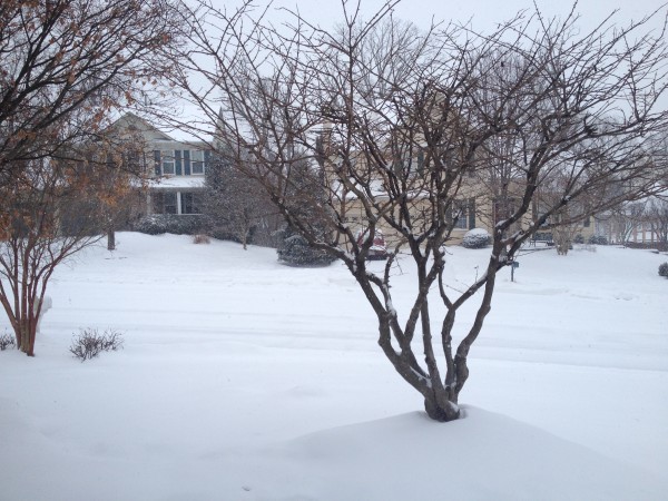
The snow started a little earlier than projected this morning, and the National Weather Service has announced a Winter Weather Advisory until 6a.m. tomorrow.
Accumulation is expected to be up to 4 inches in some areas, with some ice accumulation as the storm turns into freezing rain overnight.
Potomac Local will keep you updated on the latest weather forecasts, closings, delays and outages.
Snow is falling throughout the area; use caution if you must be on the roads. Limit any discretionary travel so… https://t.co/RNLCN6zFqZ
— PWCPoliceDept (@PWCPoliceDept) February 21, 2015
More from a National Weather Service alert:
...WINTER WEATHER ADVISORY REMAINS IN EFFECT UNTIL 6 AM EST
SUNDAY...

* PRECIPITATION TYPE...A MIX OF SNOW...SLEET...AND FREEZING RAIN
  TODAY THROUGH EARLY SUNDAY MORNING.

* ACCUMULATIONS...2 TO 4 INCHES OF SNOW. ICE ACCUMULATIONS OF A
  TRACE TO A FEW HUNDREDTHS OF AN INCH.

* TIMING...SNOW WILL START BETWEEN 9 AM AND NOON TODAY. THE
  HEAVIEST SNOW IS EXPECTED THIS AFTERNOON. SNOW WILL CHANGE TO
  SLEET AND FREEZING RAIN TOWARD EVENING. PRECIPITATION WILL
  CHANGE TO RAIN WITH AREAS OF FREEZING RAIN LATE TONIGHT.

* TEMPERATURES...HIGHS TODAY IN THE MID TO UPPER 20S.
  TEMPERATURES RISING INTO THE LOWER AND MIDDLE 30S TONIGHT.

* WINDS...WINDS SOUTH 10 TO 20 MPH THROUGH THIS EVENING...
  BECOMING LIGHT AND VARIABLE LATE TONIGHT.

* IMPACTS...SNOW AND ICE WILL CAUSE HAZARDOUS TRAVELING
  CONDITIONS THROUGH TONIGHT AND POSSIBLY INTO SUNDAY MORNING.

PRECAUTIONARY/PREPAREDNESS ACTIONS...

A WINTER WEATHER ADVISORY MEANS THAT PERIODS OF SNOW...SLEET...OR
FREEZING RAIN WILL CAUSE TRAVEL DIFFICULTIES. BE PREPARED FOR
SLIPPERY ROADS AND LIMITED VISIBILITIES...AND USE CAUTION WHILE
DRIVING.