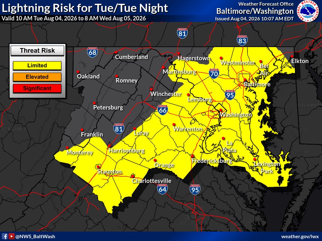
A warm front will lift north through the region tonight, bringing increasing chances of showers and thunderstorms along with a potential for localized urban flooding. Dry conditions are expected for most of the area today before the front advances. Tropical moisture will return, supporting high rain rates in any storms that develop.
Today
Partly sunny with a high near 86. Northeast wind around 6 mph.
Tonight
A chance of showers and thunderstorms before 3 a.m., then showers likely and possibly a thunderstorm between 3 a.m. and 5 a.m., with showers likely after 5 a.m. Patchy fog after 5 a.m. Otherwise cloudy with a low around 70. Light east wind. Chance of precipitation is 60%. New rainfall amounts between a tenth and quarter of an inch, except higher amounts possible in thunderstorms.
Wednesday
Showers and thunderstorms likely before noon, then showers likely and possibly a thunderstorm between noon and 2 p.m., followed by a chance of showers and thunderstorms after 2 p.m. Patchy fog before 8 a.m. Mostly cloudy with a high near 87. Calm wind becoming south around 6 mph in the afternoon. Chance of precipitation is 60%. New rainfall amounts between a tenth and quarter of an inch, except higher amounts possible in thunderstorms.
Wednesday Night
A chance of showers and thunderstorms before 11 p.m., then a slight chance of showers between 11 p.m. and 2 a.m. Partly cloudy with a low around 73. South wind 3 to 5 mph. Chance of precipitation is 30%.
Outlook
The National Weather Service is monitoring the potential for localized urban flooding tonight as the warm front lifts north. Slow-moving showers and thunderstorms could produce heavy rainfall in short periods, with rain rates of 1-3 inches per hour possible in the heaviest storms. A Flood Watch may be needed, but confidence remains low. Daily shower and thunderstorm chances continue Wednesday through early next week, with a possible risk for severe storms and locally heavy rainfall. Heat indices could approach 100 Thursday through Sunday.