
A weak system moved through the region Saturday, bringing light snow mainly to the mountains, with some lingering snow showers possible into the evening. Attention now turns to a second system late tonight into Sunday, which could bring light snow or a rain/snow mix, mainly east of the Blue Ridge. While any accumulation on Sunday should be minor for most areas, much colder air arrives early next week, with dangerously cold wind chills by Tuesday morning.
Outlook
- Saturday: Light snow showers tapering off, mainly west of the Blue Ridge.
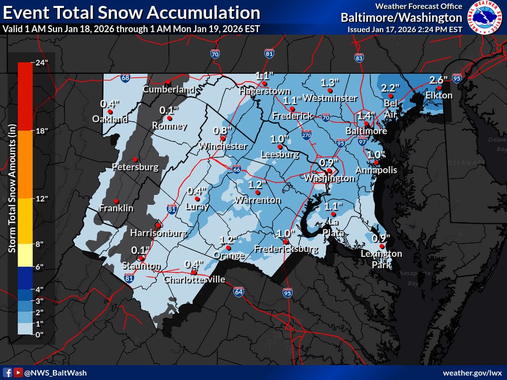
- Sunday: Light snow or a rain/snow mix possible, especially east of the Blue Ridge; minor accumulations on grassy or untreated surfaces.
- Monday: Turning colder as an Arctic front moves through; a few mountain snow showers.
- Tuesday: Very cold and dry; single-digit temperatures and dangerous wind chills.
- Wednesday: Still cold but slowly moderating, with dry conditions continuing.
Stay tuned for updates, especially regarding Sunday’s light snow chances and the extreme cold early next week.