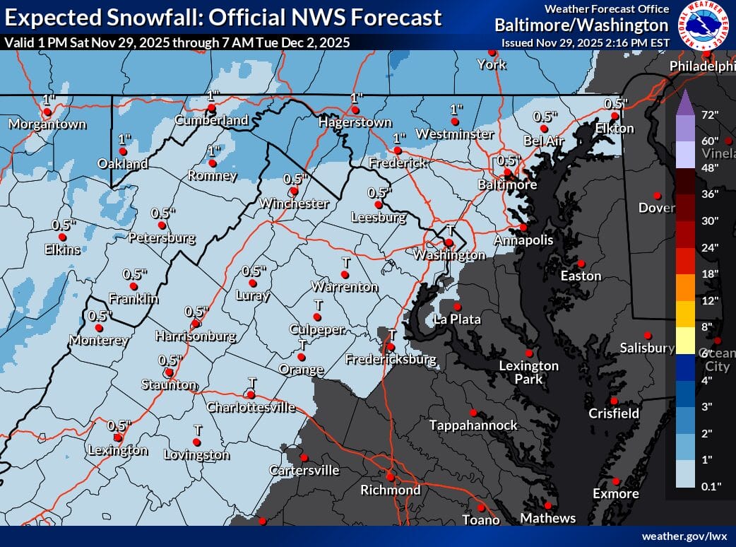
A storm moving up the East Coast on Tuesday could bring a mix of snow, sleet, freezing rain, and rain to parts of our region — especially west of the Blue Ridge.
Precipitation is expected to begin before sunrise, with some areas seeing a quick burst of snow or sleet before changing over. East of the Blue Ridge, most places will turn to a cold rain shortly after onset. Conditions dry out Tuesday night as high pressure returns, leading to several cold days ahead.
Outlook
-
Tuesday: Wintry mix begins 4–5 a.m., mainly west of the Blue Ridge; freezing rain possible. East of the Blue Ridge sees a brief mix, then cold rain. Evening clearing.
-
Wednesday: Dry and cold with high pressure in control.
-
Thursday: Mostly dry; a cold front may bring a few mountain snow showers.
-
Friday: Very cold. Morning lows in the teens to low 20s; highs in the 30s to near 40.


