

In a few short hours, it’s going to start raining, and it’s going to keep raining for the next two days.
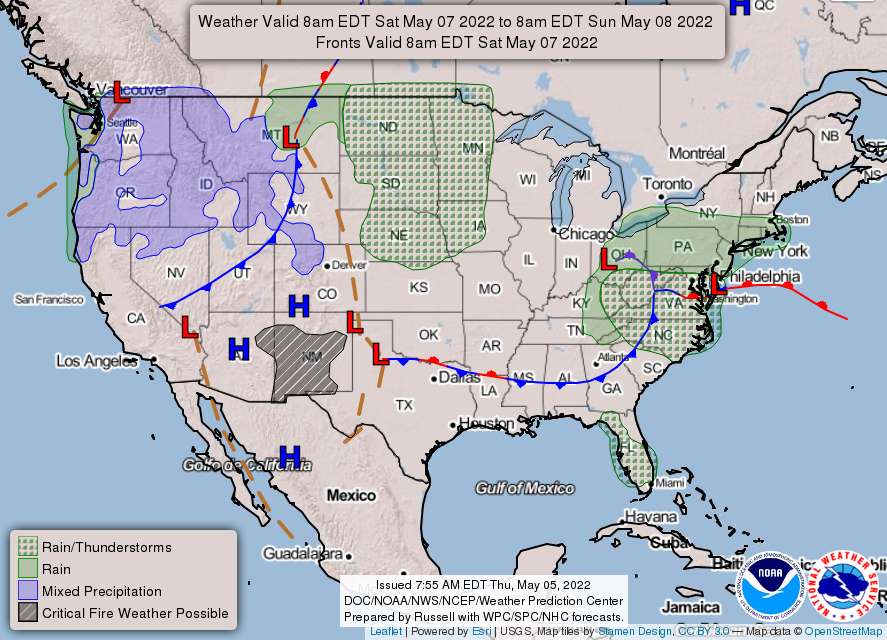
According to the National Weather Service, we’re in for a weekend washout. An area of low pressure will cross the region slowly from Friday through at least the first half of the weekend with clouds and plenty of rain, along with the chance of thunderstorms and gusty winds.
The system should move away toward early next week with improving conditions. Here’s a look at the forecast and an explanation from the weather service.
Friday
Showers likely, then showers and possibly a thunderstorm after 2 pm. Patchy fog between 10 am and 3 pm. High near 69. Southeast wind 3 to 8 mph. The chance of precipitation is 90%–new rainfall amounts between a tenth and quarter of an inch, except higher amounts possible in thunderstorms.
Friday morning, a warm front will start pushing northward into the area ahead of low pressure moving in from the west. Warm advection should result in rain across much of the area shortly after day break, but temps will remain cool for most…50s overall. As the day progresses, rain will likely continue across the northern areas, but dry slot associated with the warm front trying to lift north likely allows some drying in southern areas. Temps in the southern areas may make a run at 70, while further north, temps will be closer to 60.
Friday Night
Rain and possibly a thunderstorm. Patchy fog between 2 am, and 5 am. Low around 54. East wind 5 to 7 mph. The chance of precipitation is 100%–new rainfall amounts between three quarters and one inch possible.
Upper low starts to transfer energy from primary to secondary coastal low Friday evening. As this happens, expect widespread convection to break out across the region. North of the warm front, lift and fgen likely result in a heavy rain/flood threat, especially in far northern VA, Maryland and much of eastern WV. Further south, particularly in central VA and the southern Shenandoah Valley, the warm front lifting north will likely result in at least a marginal severe weather risk, which has now been outlooked by the SPC. As confidence grows, the risk outlook may increase. Bottom line, however, is that Friday evening looks quite busy.
Saturday
Rain and possibly a thunderstorm before 8 am, then rain between 8 am, and 11 am, then rain and possibly a thunderstorm after 11 am. Patchy fog between 11 am and 1 pm. High near 60. Northeast wind 5 to 11 mph, with gusts as high as 20 mph. The chance of precipitation is 90%–new rainfall amounts between a quarter and half of an inch possible.
Coastal low then takes over for Saturday. Wraparound rains
likely continue, but looks like heaviest rain will have occurred by this point. The front will retreat back south, and even cooler air will be driven into the region with the northerly flow on the back side of the surface low. Temps may stay in the 50s all day long, and between the gusty winds and continued rain, it will be a rather unpleasant day for most.
Saturday Night
Rain likely, mainly before 2 am. Cloudy, with a low around 45. North wind around 13 mph, with gusts as high as 22 mph. The chance of precipitation is 60%.
Sunday
Mostly cloudy, with a high near 54. A chance of showers, with thunderstorms also possible after 2 pm. The chance of precipitation is 50%.
Low pressure will continue to be just offshore of the Mid-
Atlantic. Lingering showers will persist part of the day on
Sunday, mainly east of the Blue Ridge but a total washout is not expected with the bulk of the precip falling Saturday-Saturday Night. Easterly flow will continue to keep temperatures down a few degrees and clouds continuing for the end of the weekend. By Monday morning, the low will be further off the coast and Canadian high pressure will begin to build in from the north.Temperatures will continue to trend warmer for the long term period with mostly dry conditions for the rest of the period. Late in the period, omega block pattern may allow for the low pressure system to retrograde towards the east coast by Wednesday morning and bring some showers across our southern areas. Looking ahead further into the extended and moisture content begins to look more and more tropical in nature. We may be looking ahead at a fairly moisture rich environment as we head into next weekend.
Sunday Night
Mostly cloudy, with a low around 44.
Monday
Mostly sunny, with a high near 63.