
Monday is going to be a very windy and stormy day in our area. A high-wind advisory will be in effect for our area from 6 a.m. to 6 p.m. Monday, April 12.
The High Wind Warning has been expanded to include south-central MD. Sustained winds of 20-30 mph, with gusts up to 60 mph expected. The High Wind Warning will be in effect from 6 AM until 6 PM on Monday. pic.twitter.com/3hKsHK9Usv
— National Weather Service Baltimore-Washington (@NWS_BaltWash) April 12, 2020
And with all that wind, there’s also a chance of stormy weather throughout the day Monday.
The National Weather Service tells us we should expect:
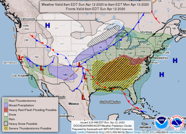
Sunday night Showers, with thunderstorms also possible after 2 am. Some of the storms could produce heavy rainfall. Low around 59. South wind 13 to 18 mph, with gusts as high as 31 mph. The chance of precipitation is 100%. New rainfall amounts between a half and three-quarters of an inch possible.
Monday | Showers and possibly a thunderstorm before 2pm, then a chance of showers and thunderstorms after 2pm. Some of the storms could produce gusty winds and heavy rain. High near 80. Breezy, with a south wind 21 to 23 mph, with gusts as high as 50 mph. The chance of precipitation is 100%. New rainfall amounts between a half and three-quarters of an inch possible.
Monday Night | Mostly clear, with a low around 45. Northwest wind 7 to 14 mph, with gusts as high as 22 mph.
Tuesday | A slight chance of showers after 2 pm. Mostly sunny, with a high near 61. Northwest wind 5 to 8 mph. The chance of precipitation is 20%.
Tuesday Night | Rain. Low around 39. North wind around seven mph. The chance of precipitation is 100%.
Wednesday | Rain, mainly before 2 pm, then showers likely after 2 pm. High near 53. The chance of precipitation is 80%.
