
 Today’s weather forecast is sponsored by Water’s End Brewery. Serving fresh craft beer at four taprooms located throughout Northern Virginia! Visit us today to grab a flight and take some fresh craft beer with you to go!
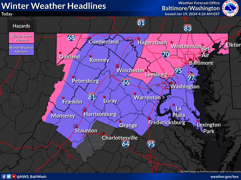
The National Weather Service forecast for the region indicates the following weather conditions:
Near Term / Through Tonight:
Snow is spreading across the entire region. Low pressure off the Carolina coast is tracking northeast. Upper-level shortwave moving from the Midwest, diving south and east through southern VA. Winter Storm Warnings were issued for areas from northern VA up into central NJ due to potential heavy snowfall. Lingering snow showers possible through late Friday afternoon or evening. Prolonged heavy snowfall expected in the mountains, adding up to a foot of additional snowfall.
Short Term / Saturday through Sunday Night:
Low pressure intensifies off the East Coast and moves away on Saturday. Strong high-pressure ridge builds southeastward from the Northern Plains into the mid-Atlantic region. Upslope snow accumulations taper off on Saturday with extreme cold and gusty winds. Wind chills near 0 or single digits above or below 0 on Saturday. Temperatures 10 to 15 degrees below average on both Saturday and Sunday. Saturday: Mostly sunny, high near 28, with gusty northwest winds. Sunday: Sunny, high near 34. Saturday night and Sunday night: Mostly clear with lows around 17 and 15, respectively.
Extended Forecast:
Today: Snow, mainly before 1 pm. High near 33. Total daytime snow accumulation of 1 to 2 inches possible. Partly cloudy tonight with a low around 17.
Saturday: Mostly sunny, high near 28. Mostly clear Saturday night with a low around 17. Sunday:
Sunny, high near 34. Mostly clear Sunday night with a low around 15.
