
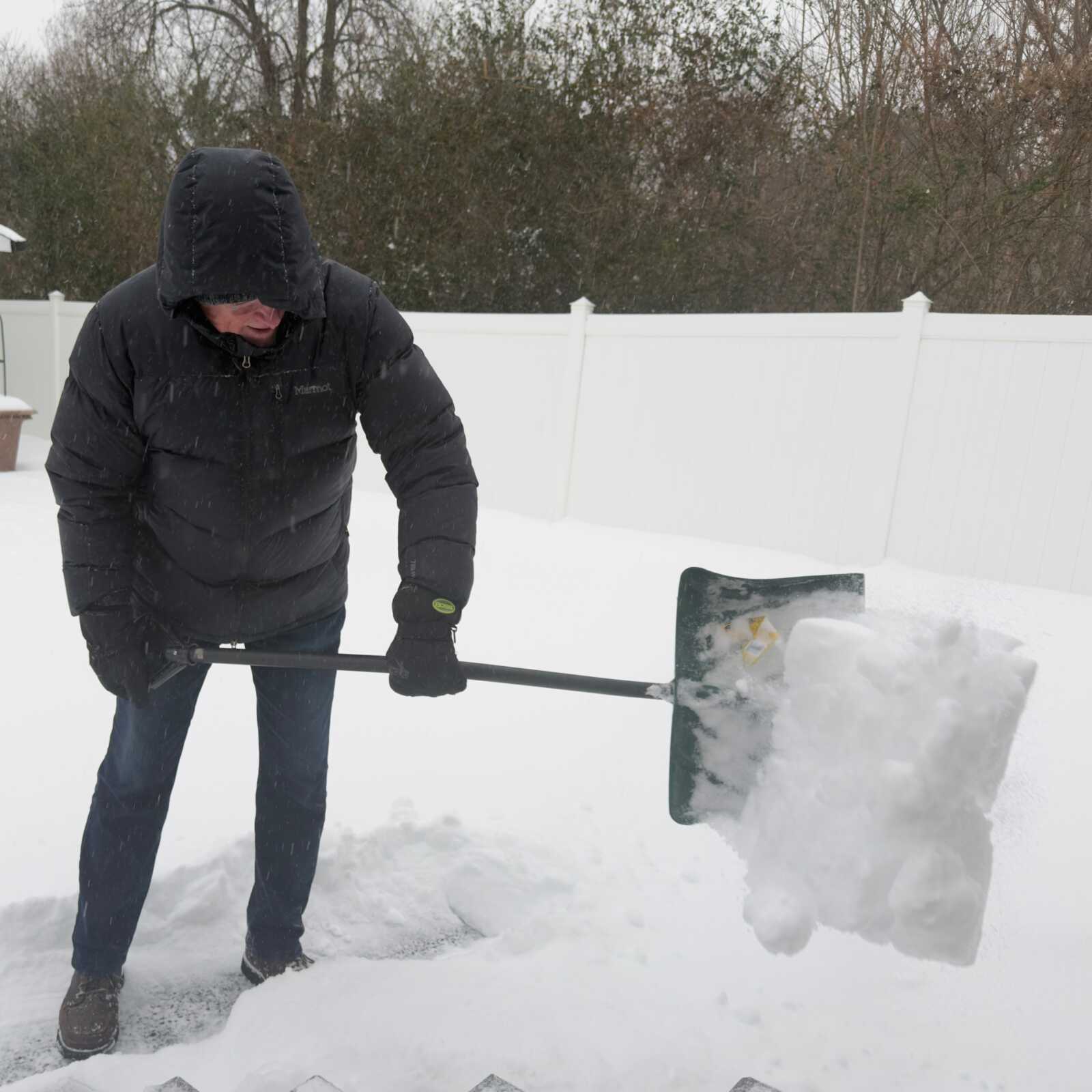
A major winter storm continued to intensify across Northern Virginia and the Fredericksburg region Sunday, bringing heavy snow this morning with sleet and freezing rain expected later today.
Key Takeaways
- What happened: Snow is accumulating across the region, with a transition to sleet and freezing rain expected later today.
- Why it matters: Rapid snow accumulation followed by ice will make roads hazardous and conditions are expected to worsen through tonight.
- Who drove the news: The National Weather Service and the Virginia Department of Transportation.
Full Coverage
Snow overspread Prince William County, Manassas, Stafford County, and Fredericksburg before daybreak Sunday, with snowfall rates expected to increase through the morning, according to the National Weather Service.
Forecasters said snow could fall at rates of 1 to 1.5 inches per hour during the morning hours before the transition begins. By late morning into the afternoon, warmer air aloft is expected to change precipitation from all snow to sleet, with freezing rain or freezing drizzle developing by mid to late afternoon in areas near and east of Interstate 95.
Northern and western areas closer to the Blue Ridge are expected to remain mostly snow, with the highest totals there. Several inches of snow are expected regionwide before sleet and ice accumulate on top of the snowpack.
The Virginia Department of Transportation reported hazardous road conditions across the Fredericksburg area, Northern Neck, and Middle Peninsula as snow continues to fall and freezing rain and sleet begin moving into the region.
VDOT crews are plowing snow and applying treatment materials on Interstate 95 and other primary routes. Snow plows are making repeated passes to clear travel lanes, shoulders, turn lanes, and intersections ahead of multiple days of below-freezing temperatures expected this week.
As of Sunday morning, Interstate 95 in the Fredericksburg area was reported in moderate condition, with travel lanes partially covered by snow. Route 1 and other primary roads in Caroline, Spotsylvania, and Stafford counties were also in moderate condition. Secondary roads across the region were reported in similar condition.
VDOT warned that freezing rain and sleet could lead to icy road surfaces and potential road blockages from downed trees and utility lines. Officials urged residents not to travel today or immediately after the storm, citing dangerous conditions that are expected to persist as temperatures remain in the teens with overnight lows in the single digits.
The National Weather Service said the combination of snow, sleet, ice, and prolonged cold will keep roads icy and hazardous through the evening and into the coming days, with rapid refreezing expected after sunset.
Annual members save nearly 30%. Upgrade today and SAVE, and keep up with the local news and events that matter most to you.
This article was created with AI assistance and reviewed by Potomac Local News editors for accuracy and clarity.
