
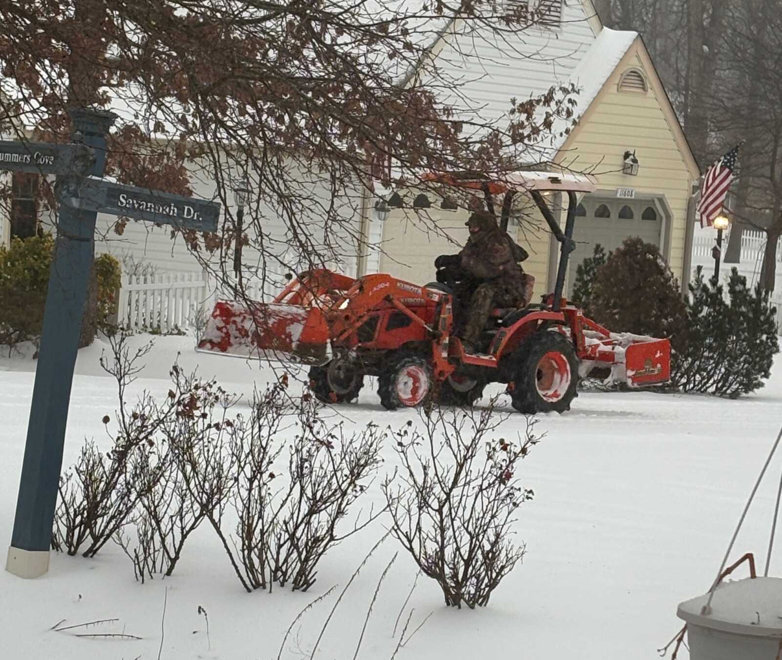
Snowfall totals across Prince William County and Fredericksburg reached between five and seven inches by Sunday afternoon as a winter storm brought a mix of snow, sleet, and freezing rain to the region.
Key Takeaways
Date: Sunday, January 25, 2026
Time: Morning through evening
Place: Prince William County, Manassas area, Stafford County, Fredericksburg
- Five to more than seven inches of snow were reported across parts of Prince William County and Fredericksburg before sleet reduced additional accumulation.
- A change to sleet and freezing rain lowered snow totals but increased ice-related impacts.
- The National Weather Service says the storm remains high impact due to ice and prolonged cold.
Full Coverage
Storm Totals So Far
Snowfall totals reported by trained spotters Sunday afternoon show several inches of accumulation across Potomac Local News’ coverage area before precipitation changed to sleet.
In Prince William County, a trained spotter reported 5.1 inches of snow at 12:18 p.m. about two miles west-northwest of Montclair. By 2:21 p.m., another spotter reported 7.3 inches of snow near Dumfries.
In Fredericksburg, a trained spotter measured 5.5 inches of snow at 1:23 p.m. about two miles east of the city.
Totals vary by location and may change as sleet compacts existing snow and freezing drizzle adds ice on top of earlier accumulation.
Why Snow Totals Changed
The National Weather Service Baltimore/Washington office said updated upper-air data from the morning weather balloon launch at Dulles International Airport confirmed a layer of warm air above the surface, commonly called a “warm nose.”
“This caused precipitation to switch faster than expected from snow to sleet,” the weather service said in its afternoon forecast discussion. The transition moved from south to north two to three hours earlier than originally forecast.
Because sleet accumulates more densely than snow, overall snow totals were reduced. Snow typically falls at a 10-to-1 snow-to-liquid ratio, while sleet ratios are closer to 2-to-1 or 3-to-1.
Impacts Across the Region
Even with lower snow totals, the National Weather Service warned the storm remains high impact. Several inches of snow were followed by accumulating sleet and a glaze of freezing rain, creating hazardous road conditions.
Forecasters said wintry precipitation will taper off Sunday evening, but untreated roads and sidewalks may remain icy for days due to persistent cold temperatures. Daytime highs are expected to stay in the teens, with overnight lows dropping into the single digits.
“Even when the sun comes out, rapid refreezing after sunset is likely,” the weather service said.
Looking Ahead
The National Weather Service expects dangerously cold conditions to persist through much of the coming week. Another fast-moving system could bring light snow by midweek, with even small amounts potentially causing travel issues due to the extreme cold.
Annual members save nearly 30%. Upgrade today and SAVE, and keep up with the local news and events that matter most to you.
This article was created with AI assistance and reviewed by Potomac Local News editors for accuracy and clarity.
