
Short answer: not really — but it’s too early to panic.
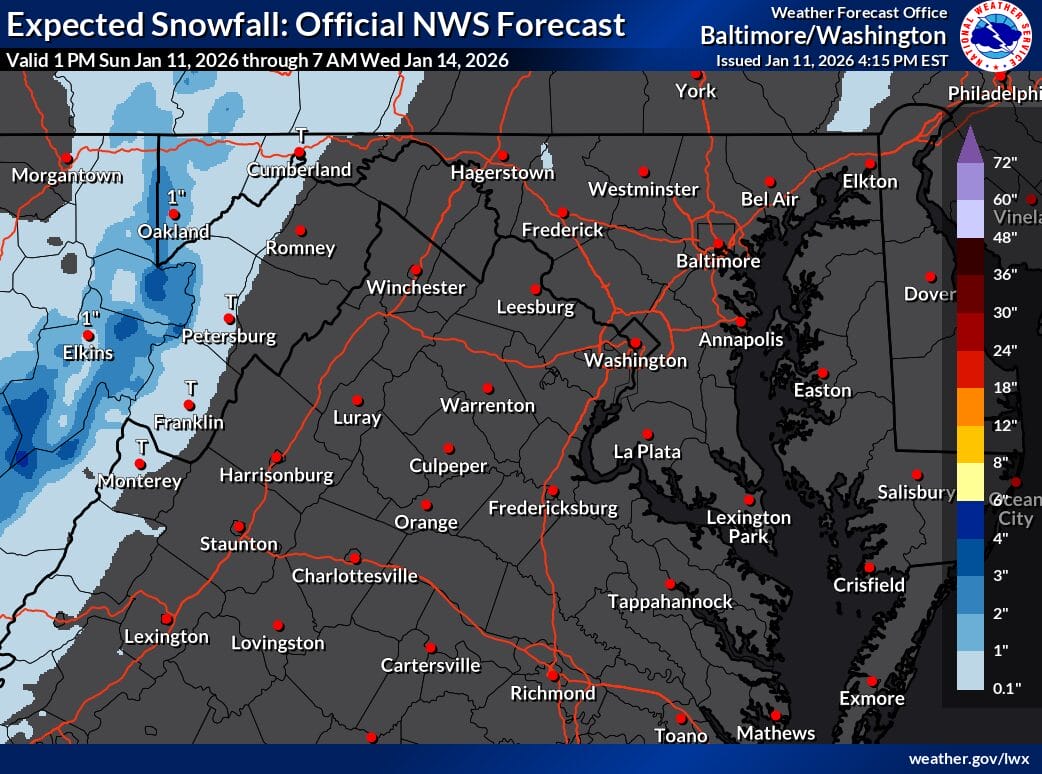
As of Sunday, January 11, 2026, forecasters at the National Weather Service say the second half of the upcoming week and next weekend could bring multiple chances for wintry weather, especially for areas west of the Blue Ridge — with lower, but not zero, chances farther east.
What’s changing in the forecast?
After a relatively quiet stretch, the weather pattern becomes more active starting Wednesday. Several disturbances are expected to move through the region between late Wednesday and early Friday, followed by another system late Saturday into Sunday.
Meteorologists caution that there’s still considerable uncertainty this far out — particularly regarding timing, storm track, and how much moisture reaches our area. That said, confidence is increasing for at least one midweek system.
Midweek system: rain first, then colder air
Wednesday is expected to be the warmest day of the extended forecast. A cold front will move through the region sometime between late morning and evening, bringing mostly rain.
As colder air filters in Wednesday night and Thursday, rain will change to snow in the Allegheny Mountains, where snow chances are the highest.
- Mountains:
- Probability of at least 2 inches of snow exceeds 40%
- Snow could be enhanced Thursday into Friday as an upper-level system moves through
- East of the mountains (including most of our region):
- Snow probabilities drop to 10–15%
- Overall confidence in wintry precipitation is less than 30%
Forecasters note that any snow east of the mountains depends heavily on how a southern system interacts with colder northern air — something models still disagree on.
Wind and colder temperatures follow
Regardless of the snow, gusty winds are expected Thursday into Friday as colder air pours in. That cold air sets the stage for a chillier weekend, even after high pressure briefly returns Friday.
Another chance next weekend
Yet another trough could move through late Friday into the weekend, again favoring snow in the mountains and leaving the door open — though uncertain — for wintry weather farther east.
So… is it too early to talk about snow?
It’s not too early to pay attention, but it is too early to lock in the details.
The National Weather Service emphasizes that small changes in storm track and timing will make a big difference in who sees rain, snow, or nothing at all — especially east of the mountains.
Bottom line:
✔ Snow chances are real, especially west of the Blue Ridge
✔ East of the mountains, confidence remains low
✔ The forecast will likely change over the next few days
