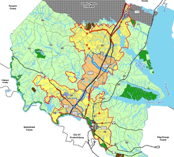
Stafford County’s comprehensive plan land-use map, showing Targeted Development Areas along the I-95 and Route 1 corridor. The Planning Commission recommended the 2026–2046 update to the Board of Supervisors on Sept. 9. Stafford County map. Photo: Stafford County
A Cool Springs dining-and-retail district, a second look at the closed Cannon Ridge golf course, and a fight over dashed lines on a road map all rode the same 6–1 vote Wednesday night.
This one’s for the people who really care about local news.
Locals Only members get deeper reporting, more context, and fewer shortcuts.