
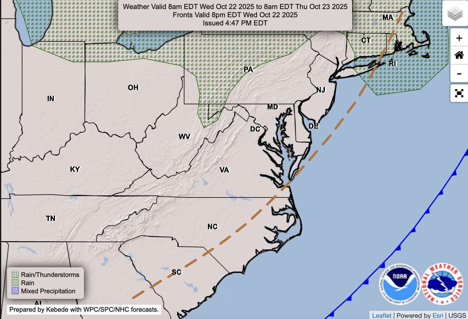
A cold front will sweep through the region tonight, bringing a few evening showers and possibly a rumble of thunder before skies clear out overnight. Behind the front, cooler and breezier weather settles in for the rest of the workweek. Expect seasonably cool days, crisp nights, and a chance for the first frost of the season in some outlying areas by late week.
Outlook:
Tonight: Showers likely early, possibly a thunderstorm before 1 a.m. Turning mostly clear overnight. Low around 51°.
Wednesday: Increasing clouds, breezy, and cooler. High near 64°.
Wednesday Night: Mostly clear and cool. Low near 45°.
Thursday: Partly cloudy and brisk. Highs in the mid-50s to low 60s with gusty west winds.
Thursday Night: Clear and chilly. Lows in the 30s; patchy frost possible in rural spots.
Friday: Sunny and cool. Highs in the upper 50s to mid-60s.
High pressure will build in by Friday, setting up a dry and pleasant weekend.
A cold front moving across the area this evening is producing scattered showers and a few thunderstorms. Some of this activity could produce graupel and/or small hail. pic.twitter.com/IiRCE4FsjY
— NWS Baltimore-Washington (@NWS_BaltWash) October 22, 2025
