
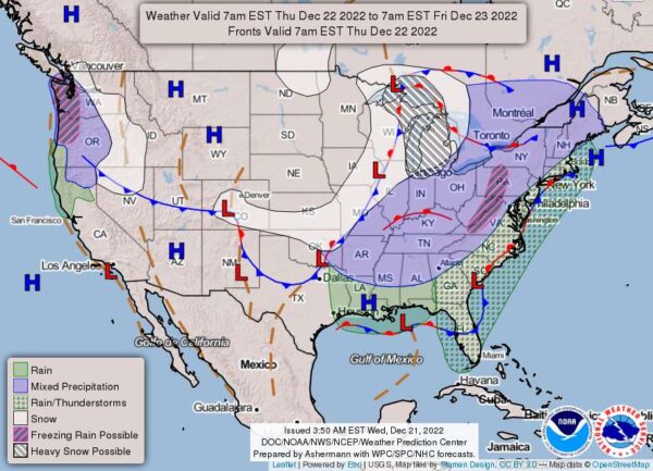
We could see a mix of wintry precipitation in our area on Thursday morning, as moisture will move into the southern and western areas before sunrise.
According to the National Weather Service, there will be cold air in place, but it’s too soon to tell if the storm will produce snow accumulation during the morning or if it will fall as rain or sleet.
As the day progresses, temperatures will rise throughout the day into the 40s and even low 50s, changing all precipitation to all rain for most areas by Thursday afternoon.
Then, forecasters say they are turning their attention to a strong arctic cold front Thursday night approaching from the west. The precipitation will taper off, and overnight temperatures will feel at or near mild.
However, don’t get used to the calm weather. Intense storms capable of high winds over 40 mph, with gusts above 50 mph, appear likely by Friday afternoon. The weather service notes that downed trees and other wind damage are a possibility.
Once the storms move out, our region will be in for a flash freeze, with some of the coldest air we have seen in quite some time.
Temperatures should drop from the 50s in the early morning to the teens by evening. Friday night’s forecasted low temperature at Quantico is 14, while the high temperatures on Saturday (Christmas Eve) and Sunday (Christmas) are 25 and 30, respectively.
Here’s the forecast:
Tonight
A slight chance of rain, snow, and freezing rain after 4 am. Cloudy, with a low of around 30. Calm wind. The chance of precipitation is 20%.
Thursday
A slight chance of rain, snow, and freezing rain before 7 am, then rain. High near 48. Light and variable wind become northeast at 5 to 7 mph in the morning. The chance of precipitation is 100%. Little or no ice accumulation is expected. Little or no snow accumulation is expected.
Thursday Night
Rain, mainly before 1 am. Low around 45. Southeast wind 6 to 8 mph, becoming south after midnight. Winds could gust as high as 22 mph. The chance of precipitation is 80%. New precipitation amounts between a quarter and half of an inch possible.
Friday
Rain is likely, mainly before 10 am. Partly sunny, with a high near 46. Breezy, with a south wind of 16 to 21 mph becoming west in the afternoon. Winds could gust as high as 38 mph. The chance of precipitation is 60%.
Friday Night
Mostly clear, with a low around 14.
Saturday
Sunny, with a high near 25.