
[Updated 2 p.m.] A severe thunderstorm watch is in effect until 9 p.m.
A severe thunderstorm watch has been issued for parts of DE, DC, MD, NJ, PA, VA, WV until 9 PM EDT pic.twitter.com/MjxFniPn83
— NWS Severe Tstorm (@NWSSevereTstorm) June 2, 2022
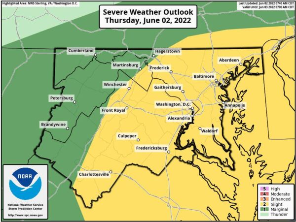
Scattered severe thunderstorms capable of producing damaging winds and large hail will be possible this afternoon and evening.
Locally heavy rainfall with isolated instances of flooding is possible this afternoon and evening.
Once the storms move through, look for temperatures to fall. This weekend’s temperatures will be more seasonable, a departure from this week’s heat wave.
Here’s the forecast:
Today
Showers and thunderstorms, mainly after 2 pm. Some storms could be severe, with damaging winds and frequent lightning. High near 88. Northwest wind 5 to 10 mph. The chance of precipitation is 90%. New rainfall amounts between a tenth and quarter of an inch, except higher amounts possible in thunderstorms.
Tonight
Showers and thunderstorms, mainly before 8 pm. Some of the storms could be severe. Low around 66. Northwest wind 5 to 9 mph becoming west in the evening. Winds could gust as high as 21 mph. The chance of precipitation is 80%. New rainfall amounts between a tenth and quarter of an inch, except higher amounts possible in thunderstorms.
Friday
Mostly sunny, with a high near 77. Northwest wind 10 to 13 mph, with gusts as high as 26 mph.
Friday Night
Partly cloudy, with a low around 62. Northwest wind around 7 mph.
Saturday
Sunny, with a high near 78. Northwest wind around 8 mph.
Saturday Night
Mostly clear, with a low around 60.
Sunday
Mostly sunny, with a high near 79.