
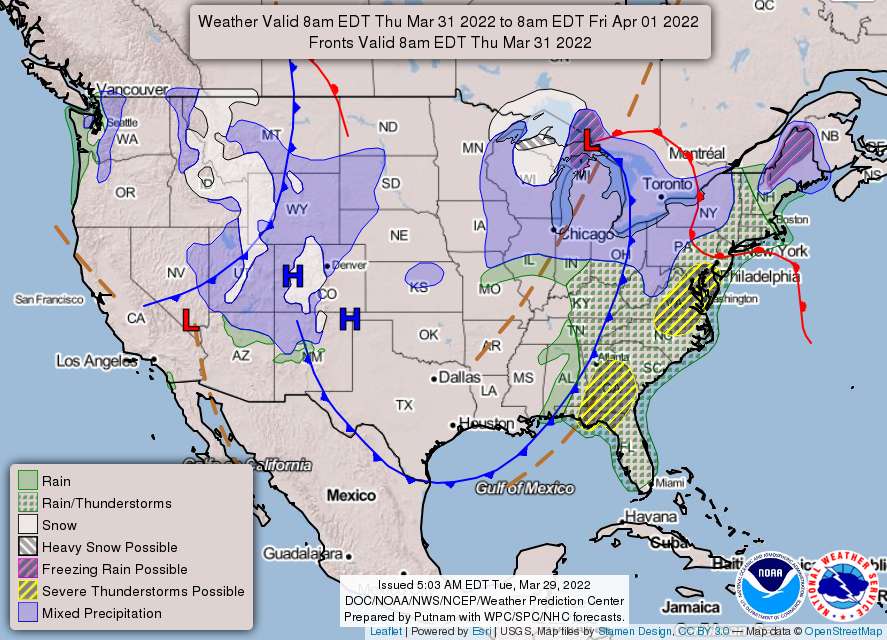
Our weather will change rapidly over the next 48 hours, with chances of wintery precipitation in the early morning hours, tomorrow, Wednesday, March 30, and damaging storms on Thursday, March 31.
The wintry weather will move into the region overnight. However, behind the approaching warm front will be warmer temperatures.
Here’s the latest from the National Weather Service:
Tonight
Increasing clouds, with a low around 32. Northwest wind around 6 mph, becoming calm in the evening.
Overall accumulations [overnight into Wednesday, March 30] look to be a light glaze for areas south and east of Garrett County, Maryland with Garrett potentially seeing up to a tenth of an inch of ice.
Wednesday
Cloudy, then gradually becoming mostly sunny, with a high near 63. Light and variable wind becoming south 5 to 10 mph in the morning. Winds could gust as high as 18 mph.
Wednesday afternoon temperatures look to rise into the upper 50s to low 60s across the area. There will be a lull in potential precip between Wednesday afternoon through Wednesday evening ahead of a strong cold front expected to move through the area starting late Wednesday night. Winds out of the southeast will be gusty at times on Wednesday with strengthening pressure gradient throughout the day. As warm, moist air continues to build, do not expect temperatures to fall that much overnight Wednesday with lows expected to be in the 40s and 50s.
Wednesday Night
A slight chance of rain after 2am. Mostly cloudy, with a low around 51. South wind 6 to 10 mph, with gusts as high as 23 mph. Chance of precipitation is 20%.
Thursday
A chance of rain, with thunderstorms also possible after 5pm. Mostly cloudy, with a high near 74. South wind 13 to 18 mph, with gusts as high as 34 mph. Chance of precipitation is 50%.
Conditions will begin to rapidly change ahead of the cold front passage early Thursday morning. Winds on Thursday also look to be favorable for Wind Advisory and even High Wind Warning criteria across a large portion of the forecast area…A threatening cold front is expected to approach the area from west to east during the day on Thursday…the potential for strong to severe thunderstorms. Main threats, for now, looks to be damaging winds and an isolated tornado..
Thursday Night
A chance of rain and thunderstorms. Mostly cloudy, with a low around 51. South wind 5 to 13 mph, with gusts as high as 25 mph. Chance of precipitation is 50%.
The threat will likely continue into late Thursday night, likely over the waters beyond midnight. Northwesterly flow will build in behind the front and likely bring temperatures down from the mid-70s Thursday to low to mid-50s Friday.
Friday
Mostly sunny, with a high near 62.