News

Snow on Thursday, brutal cold, and maybe more snow for the weekend

Snow potential for Thursday, January 20, 2022. [National Weather Service]
[Updated 9:15 a.m.] Snow and rain could affect Thursday morning’s commute.

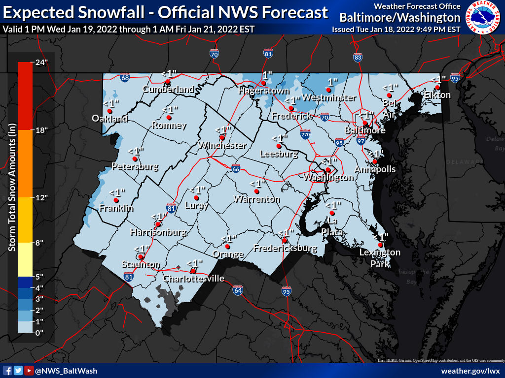
According to the National Weather Service, rain will spread across the region after 4 a.m Thursday, with temperatures hovering about 32 degrees.

As the sun rises, the rain and snow will continue through the morning, eventually tapering off after 1 p.m. The weather service states that the storm should leave behind about an inch of snow.

Thursday night, the snow threat is with us once again, mainly before 1 a.m. Gusty winds and brutally cold temperatures will affect the region, hovering around 18 degrees.

This morning, the Virginia Department of Transportation announced it would begin to apply salt brine to major routes like Interstate 95. The brine helps prevent ice from bonding to the pavement during winter weather, which can reduce the risk of hazardous travel conditions and assists crews with snow and ice removal.

On I-95, crews will have a mobile pretreatment operation underway after 9 a.m. between exit 98 at Kings Dominion exit 150 Joplin Road at Quantico.

Thursday marks the first in a series of snowstorms to affect our region over the next two days. There are snow chances in the forecast on Friday, accompanied by high temperatures that won’t climb too far above 30 degrees.

Forecasters disagree on how much snow our area could see. They’re watching a storm that will move to the east coast from the Great Lakes region. The track of this storm will affect how much snow we will see.

Forecasters posted this message to Washington, D.C. forecast page:

Depending on how far the trough descends southward, it could interact with the stalled boundary over the Carolinas to generate a coastal low which would track northeastward along the Eastern Seaboard. If the low tracks close enough along the coast, our region could see some decent snowfall especially considering the cold air mass that will build into the region Friday into Saturday. Some guidance has been suggesting the potential for a major snow storm affecting our region late Friday night into Saturday, but confidence remains low.